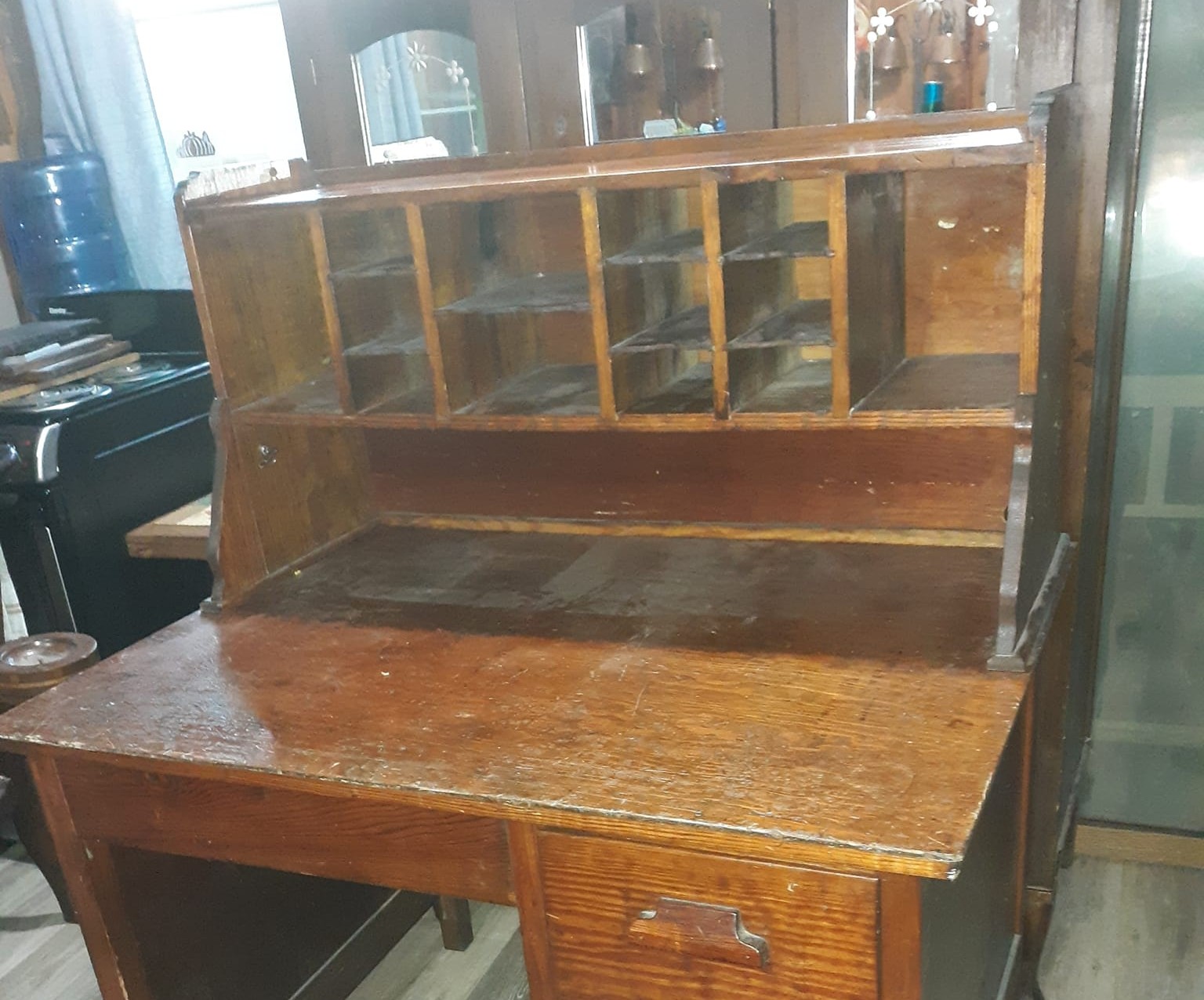


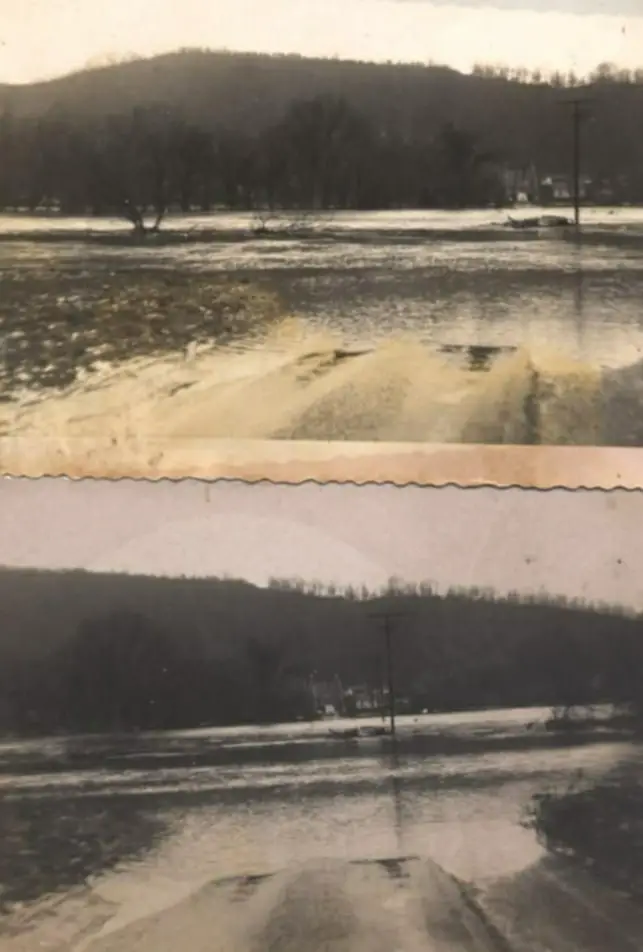
SUMMERS COUNTY W.Va. (Hinton News) – As I sit here trying to decide on something to write this week’s piece about, thinking about the flood prediction for the Greenbrier River last weekend, I ran across these two photographs. They were found in my Grandfather Bernard Thompson’s roll top desk in Tornado, WV.
They were taken during a high water event on February 1, 1950, where it crested at 16.52ft. Which relatively isn’t a “flood” but a “high water event”. But back then there were many more camps and homes along the river. It wasn’t until the highest flood on record in 1996 that many of these homes were bought out and demolished or raised. So until then these times of high water were more substantial.
This was before the days of cell phones and Facebook, so if you wanted to find out about an event that was going on in your area you had to go exploring. You knew the back roads to travel to get around in order to find out what all of the “gossip” was about.
Word had gotten back to Talcott that someone from the area had tried to drive through the dip that used to be in front of the bridge in Pence Springs. So grandad made his way to Pence Springs to be one of the many spectators by going up Hungars Creek to Clayton and coming down Fisher Hill to Pence Springs where he found the car he had heard about washed against the power poll in the dip.
You see, yes the water got higher than 16ft but looked much worse than it really was in these photos. After the flood of 1996 the state filled this dip with big culverts and filled it to allow the water to run through it during high water events. They changed the elevation of that section of road to the bridge. So now it takes something like 15.5 feet to start over the pavement and block that section of road.
As a child I can remember it being blocked time and time again during my youth. I don’t remember the exact stage but it would block the dip somewhere between 12 to 13ft. I have always been fascinated by flooding on the Greenbrier River, especially in Pence Springs and Talcott.
On a side note, Dale Hedrick who went to school with my father and started out together at the Pence Springs School. In the 1960’s it was school policy that when the water crossed the pavement, the kids that lived on the Pence Springs proper side of the river would be excused to go home and if they were already at school they could go home as soon as it crossed the road.
When the water would be high, which occurred fairly often during that decade. He would stop on his walk to school and scrape his foot through the gravel to “help” it cross the road faster so he wouldn’t have to go to school. This came straight from the “horse’s mouth.” Ha